Weather Service outlines when severe storm threat will be at its worst Wednesday
Published 5:52 am Wednesday, May 10, 2023
|
Getting your Trinity Audio player ready...
|
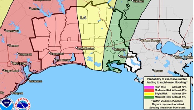
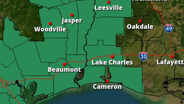
“There seems to be increasing confidence in the risk for flooding across Southeast Texas into west central and southwest Louisiana today.”
That was part of the message shares at 5:02 a.m. Wednesday by the National Weather Service’s Midnight Forecast Team in Lake Charles.
Bands of storms with high rainfall rates are expected to move over locations that have received recent heavy rains and with still wet grounds.
“Some storms are already moving into the area, and at this point it looks like the flood potential will be at its greatest during the 9 a.m. to 3 p.m. time frame,” weather watcher said.
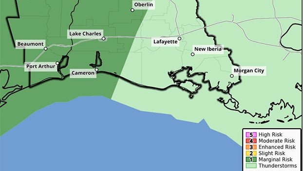
“There will also be some risk that isolated stronger storms may produce damaging wind gusts or even a quick and brief spin up tornado.”
The National Weather Service asks residents to stay weather aware and make sure a flood safety plan in place in the event a flash flood warning is issued.


