Fire weather watch affecting Southeast Texas Wednesday
Published 3:27 pm Monday, October 14, 2024
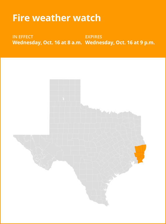
On Monday at 3:23 p.m. the National Weather Service issued a fire weather watch valid for Wednesday between 8 a.m. and 9 p.m. The watch is for Upper St. Martin, Lower St. Martin, West Cameron, East Cameron, Northern Calcasieu, Northern Jefferson Davis, Northern Acadia, Upper Vermilion, Upper Iberia, Upper St. Mary, Southern Calcasieu, Southern Jefferson Davis, Southern Acadia, Lower Vermilion, Lower Iberia, Lower St. Mary, Northern Jasper, Northern Newton, Southern Jasper and Southern Newton as well as Vernon, Rapides, Avoyelles, Beauregard, Allen, Evangeline, St. Landry, Lafayette, Tyler, Hardin, Jefferson and Orange counties.
Extreme grassland fire danger is forecast. Winds are forecasted to be 20 foot winds of 15 to 20 mph with gusts up to 25 mph and humidity Wednesday morning around 20%.
“A passing cold front will bring low RH values along with strong north winds. Very dry conditions continue with KBDI values above 600 across the region,” states the NWS. “Any fires that develop will likely spread rapidly. Outdoor burning is not recommended.”

According to the NWS, a fire weather watch means that critical fire weather conditions are possible. Listen for later forecasts and possible red flag warnings.
Source: The National Weather Service