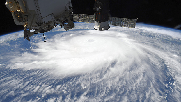
Wednesday 6 p.m. Update: Winds, heavy rains beginning to move onshore; 40-mile deep storm surge feared
Published 6:23 pm Wednesday, August 26, 2020
|
Getting your Trinity Audio player ready...
|
Storm surges that could penetrate up to 40 miles inland from the coastline — some as high as 20 feet — are being predicted for Hurricane Laura by the National Hurricane Center Wednesday.
Forecasters say floodwaters may not recede for several days after the Category 4 hurricane moves through the area Wednesday night through Thursday.
At 6 p.m., sustained winds of 39 mph were being reported at Caillou, Lousiana, and on Vermillion Bay in Louisiana. Tropical-storm-force winds and heavy rains are beginning to spread onshore.
Trending
The National Hurricane Center predicts hurricane-force winds are expected tonight in portions of the hurricane warning area, with catastrophic wind damage expected where Laura’s eyewall moves onshore. Hurricane-force winds and damaging wind gusts will likely spread well inland into portions of eastern Texas and western Louisiana Thursday.
Flash flooding along small streams, urban area and roadways is expected into Thursday from far eastern Texas to Louisiana and Arkansas.
At 6 p.m. Hurrican Laura was 130 miles SE of Port Arthur with 145 mph winds, The storm was moving northwest at 15 mph.


